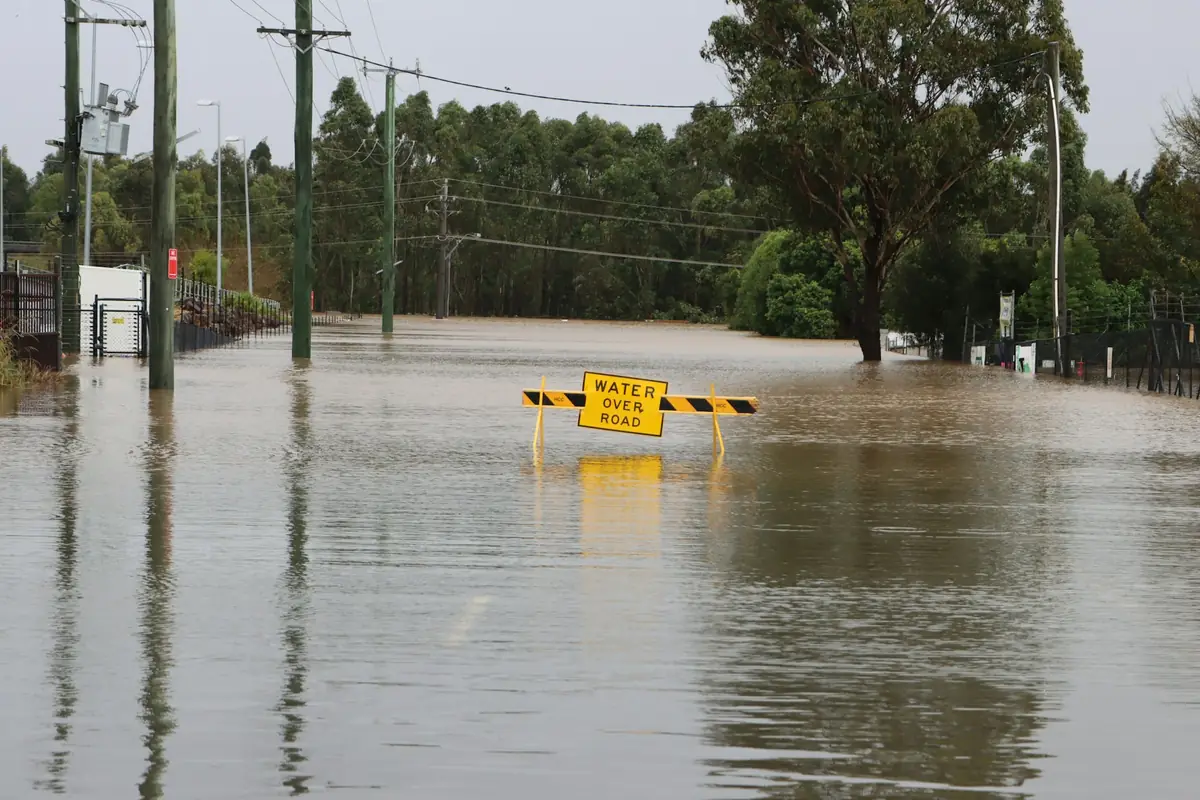
Where Durham floods
On July 7, 2025, the Eno River at Durham crested at 26.24 feet, the highest on the National Weather Service's list for the gauge and more than two feet above Hurricane Fran's 23.58 in 1996. Major flood stage is 24 feet. Here is what the record shows about where Durham floods.
The Eno at Durham
The gauge sits on the Eno north of downtown, near where Roxboro Road crosses the river. The National Weather Service sets action stage at 18 feet, minor flooding at 20, moderate at 22 and major at 24. At moderate stage, its impact statement says, flood water reaches houses along Rippling Stream Road below US 501; at major stage, water rescues may be needed in the bend between Rippling Stream Road and High Meadow Road. That is exactly where Chantal hit.
| Storm | Crest at Durham | Flow | Flood claims in Durham County |
|---|---|---|---|
| Tropical Depression Chantal, July 2025 | 26.24 ft (preliminary) | 14,500 cfs | 43, $4.9 million paid |
| Hurricane Fran, September 1996 | 23.58 ft | 14,700 cfs | 73, $0.7 million paid |
| Hurricane Florence, September 2018 | 23.06 ft | 13,732 cfs | 49, $1.1 million paid |
Crests from the NWS National Water Prediction Service list for gauge ENON7 (USGS 02085070). Claims are OpenFEMA NFIP claims with a loss date in that month, all of Durham County.
Highest flow each water year, Eno River at Durham (cubic feet per second)
Chantal
Chantal came ashore on the Carolina coast on July 6, 2025. It then stalled over the Piedmont as a tropical depression. Its heaviest rain fell over Orange and Chatham counties, upstream of Durham, which is why Raleigh-Durham International Airport, east of town, recorded only 0.99 inches from July 5 to 7 while the Eno went to a record. The Durham Fire Department rescued more than 80 people in the Old Farm area, many by boat (AP). Along Rippling Stream Road off Roxboro Road, water reached houses overnight, and one family's cars were totaled (ABC11). The flood program has paid $4.9 million on Chantal claims in the county so far, 45% of everything it has paid here since the 1970s.
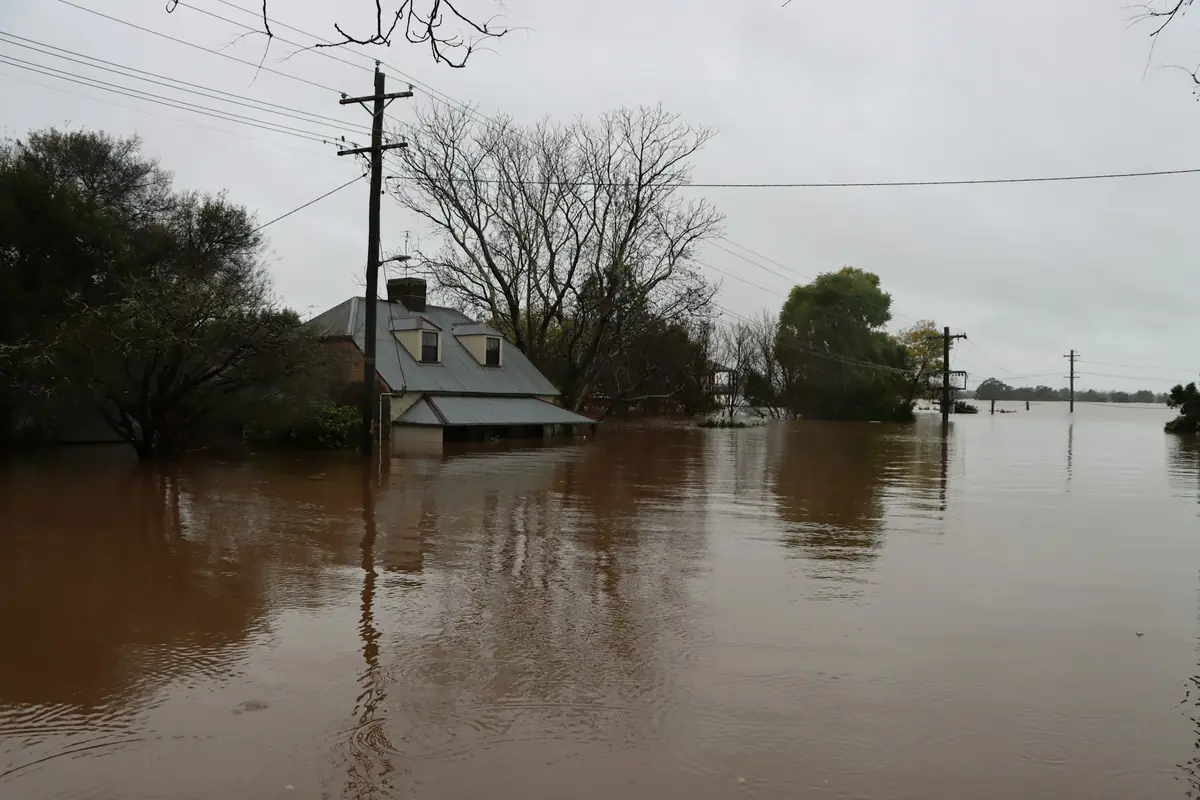
It isn't only the Eno
The ZIP with the most federal flood insurance claims is 27707, Hope Valley and south central Durham, with 97. Those come from creeks: Third Fork Creek and the New Hope Creek bottoms flood in heavy rain on their own schedule, and Chantal barely touched them. Then 27704, northeast Durham (85), and 27712, north Durham (64), where most of Chantal's claims landed. Ellerbe Creek runs through the middle of the city and has its own NWS gauge at Club Boulevard.
Federal flood insurance claims per year, Durham County
What this means for a house
- Flood water is black water. It carries sewage and soil, so anything porous it touched comes out, and restoration companies price it at the top rate ($7 to $7.50 per square foot, Fixr). Flood and storm water cleanup.
- Homeowners insurance won't pay for it. No. According to the North Carolina Department of Insurance, homeowners policies do not cover flood damage, and storm water rising into the house from outside counts as flood. You need a separate flood policy, usually from the National Flood Insurance Program, which pays up to $250,000 on the building and $100,000 on contents and generally takes effect 30 days after purchase. Rain coming in through a storm-damaged roof is different and usually goes on the homeowners claim.
- The flood map isn't the whole story. About 43% of the county's paid flood claims were on properties rated outside the high-risk zones.
Questions Durham homeowners ask
Which parts of Durham flood most?
Two places. The Eno floods the north side, and in July 2025 Chantal sent it to a record crest that put water in homes off Roxboro Road near Rippling Stream Road. The city's creeks flood the rest, and they account for more federal flood insurance claims: ZIP 27707, the Hope Valley side along Third Fork and New Hope creeks, leads the county, followed by northeast Durham (27704) and north Durham (27712).
What was the highest the Eno River has been at Durham?
The National Weather Service crest list for the gauge shows 26.24 feet on July 7, 2025, after Chantal, marked preliminary. Before that the record was Hurricane Fran's 23.58 feet on September 6, 1996. Major flood stage is 24 feet.
Does homeowners insurance cover flood water from a storm?
No. According to the North Carolina Department of Insurance, homeowners policies do not cover flood damage, and storm water rising into the house from outside counts as flood. You need a separate flood policy, usually from the National Flood Insurance Program, which pays up to $250,000 on the building and $100,000 on contents and generally takes effect 30 days after purchase. Rain coming in through a storm-damaged roof is different and usually goes on the homeowners claim.
Sources
- NOAA National Water Prediction Service: Eno River at Durham (ENON7), flood categories and crest history
- USGS: Peak streamflow, Eno River at Durham, NC (02085070)
- The Associated Press (via WCSC Live 5): 80 people rescued from record river flooding in Durham County (July 7, 2025)
- ABC11 (WTVD): Neighborhoods near Eno River recovering from floods after Chantal's assault on central NC (Tom George, July 9, 2025)
- OpenFEMA: FIMA NFIP Redacted Claims data set (v3)
- NOAA Applied Climate Information System: Raleigh-Durham International Airport daily data (GHCN USW00013722)
- Fixr: Water Damage Restoration Cost (updated January 31, 2025)
- North Carolina Department of Insurance: Before, During and After a Storm (checked October 29, 2026)